Analytik has published a new video that provides an informative introduction to the collection and processing of information from across different parts of the electromagnetic spectrum using an aerial vehicle, such as a drone.
Airborne Imaging, or Remote Sensing, using hyperspectral imaging sensors enables collection of valuable spectral information from a large area (such as looking at disease spread in a forest) as a set of images. The processing of this data allows the identification of objects and materials through their individual characteristics or “spectral fingerprint”.
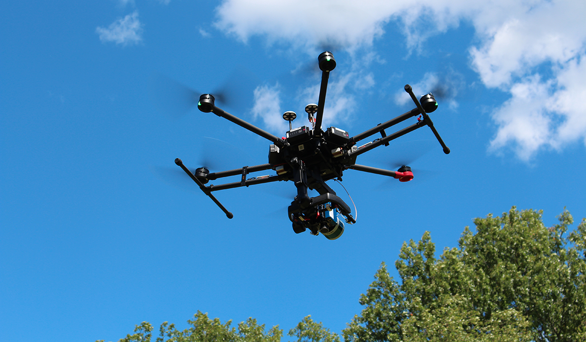
Analytik are a leading provider of fully integrated, cutting-edge, out of the box airborne hyperspectral imaging solutions. The fully data-tested solutions available from Analytik combine a hyperspectral imaging sensor and choice of GPS/IMU mounted on a high-performance market-leading UAV, with LiDAR and a stabilising gimbal if needed. With powerful post-processing software capability, fully data-tested solutions and extensive training support available, you won’t find a more complete integrated airborne hyperspectral imaging solution.
To watch the video please visit https://youtu.be/V9CoBkcwe6k. For further information on airborne hyperspectral imaging solutions please contact Analytik Ltd. on +44(0)1954 232 776 or email info@analytik.co.uk.
For over 15 years – Analytik has been a trusted supplier of cutting-edge scientific instrumentation to leading organisations throughout the UK and Ireland. Specialists in providing and supporting pioneering technology, we deliver added value through specialised consultative expertise and comprehensive pre and post-sales support to ensure that our customers get the most out of their investment. For further information please visit www.analytik.co.uk.


")