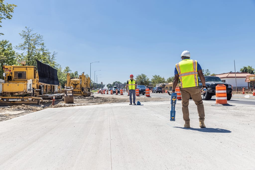
Accurately locating and mapping underground utilities is crucial to ensure safety and to prevent costly damage.
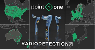
Point One Navigation has posted a new case study for surveyors and construction industry professionals. Read it here Radiodetection: Locating underground utilities with Point One https://pointonenav.com/news/radiodetection-rd8200sg-locating-underground-utilities-with-point-one/
In this case study, Radiodetection describes how Point One Navigation’s Polaris was a powerful ally in the US launch of Radiodetection’s new survey-grade precision utility locator – the RD8200SG.
In the utility industry, accurately locating and mapping underground utilities is crucial to prevent costly damages and ensure safety. With critical infrastructure like water, electric, gas, and oil pipelines hidden underground, any accidental damage can lead to catastrophic outcomes. The need for precision locating tools that can efficiently detect and map underground assets with survey-grade accuracy is critical.
“The US sales team was going to be covering a lot of ground and crossing state lines,” said Brent Briley, a member of Radiodetection’s sales team. “Some states have free RTK stations, others don’t. We just couldn’t take any chances. We were moving fast and needed a network we could trust.”

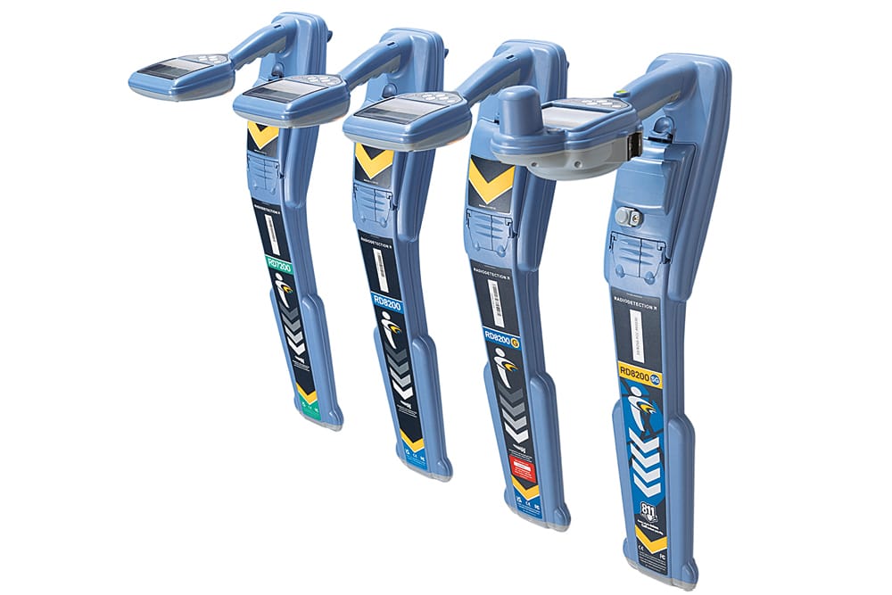
Radiodetection’s new RD8200SG is an easy-to-use electromagnetic underground utility locator that allows users to locate while they map, and map while they locate. It uses Global Navigation Satellite Systems (GNSS) and Real-Time Kinematic (RTK) networks to pinpoint the location of hidden underground utilities and structures quickly and accurately.
The RD8200SG is a critical solution, particularly in industries like oil and gas, where the consequences of hitting a pipe during excavation can be severe. With this latest launch, Radiodetection is fulfilling the need for careful monitoring of these underground assets with precision locating and survey-grade accuracy.
Readers will learn how construction and utility companies find and locate underground infrastructure – including metal and non-metal pipes, conduits, communication cables, etc. The case study also covers what is RTK and how does it correct GPS/GNSS errors? And of course, why did Radiodetection decide to adopt Point One Navigation’s Polaris RTK correction technology?
About Radiodetection
Founded in 1977, Radiodetection is world-renowned for helping utility customers to locate underground pipes and infrastructure to avert damage by using innovative locator solutions, including cable avoidance tools and magnetic locators. More here at https://www.radiodetection.com/en-us
About Point One Navigation:
Point One Navigation, headquartered in San Francisco, specializes in building precise location services with accuracy down to a few centimeters at a cost 100x less than existing solutions. State of the art sensor fusion techniques and a proprietary network of sensors enable Point One to determine location with unrivaled precision and cost. To learn more about Point One Navigation and its products, visit: https://pointonenav.com


")